| << Cookinseln - Tokelau-Inseln - Niue - Kermadecinseln |
||
|
||
Zuletzt angesehene Artikel:
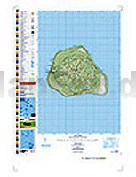
 | PI17 Mangaia (Cookinseln) Topographische Landkarte 1:25.000 - Land Information New Zealand |
 | Republik Mordwinien Topographische Landkarte 1:200.000 Respublika Mordowija - Russland |
 | Angeles National Forest - California (Blatt: 811) Landkarte Trails Illustrated Map National Geographic - USA |