| << Cookinseln - Tokelau-Inseln - Niue - Kermadecinseln |
||
|
||
Zuletzt angesehene Artikel:
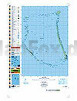
 | PI02 Nukunonu (Tokelau-Inseln) Topographische Landkarte 1:25.000 - Land Information New Zealand |
 | Deutschland 1:750.000 Straßenkarte (Blatt 718) Michelin |
 | 5 Gobi Altai Aimag 1:650.000 Touristische Landkarte Govi-Altay Aymag - Говь Алтай Аймаг газрын зураг - Монсудар Monsudar - Mongolei |
 | 4337 Gröbzig Topographische Karte 1:25.000 Landesamt für Vermessung und Geoinformation Sachsen-Anhalt (Landesvermessungsamt) |
 | 3544OT LE MUY / LORGUES - Montagne de Roquebrune - Massif des Maures - Topographische Wanderkarte Frankreich 1:25.000 TOP 25 IGN |
 | Madeira 1:60.000 Straßenkarte (Blatt 594) Michelin |