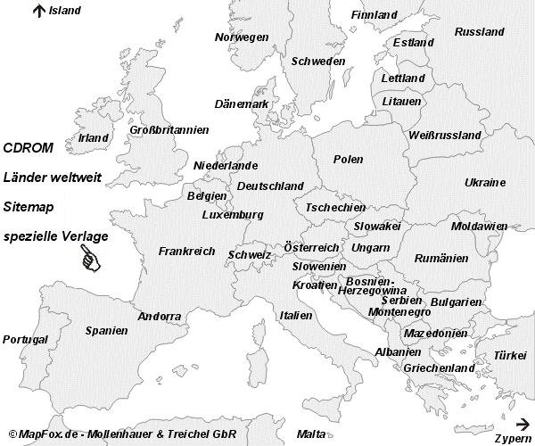
Bitte klicken Sie auf das gewünschte Land.
Benutzen Sie auch unseren Mapchooser (Die dort auffindbaren Titel werden ständig erweitert.)
 Titelübersicht im Mapchooser ProjektNord
Titelübersicht im Mapchooser Italien Wanderkarten verschiedener Verlage
Titelübersicht im Mapchooser Skandinavien Wanderkarten verschiedener Verlage
Titelübersicht im Mapchooser Spanien und Portugal
Titelübersicht im Mapchooser Balkan mit Griechenland
Liste wird ständig erweitert...